Last updated October 11, 2023
Ride Profile

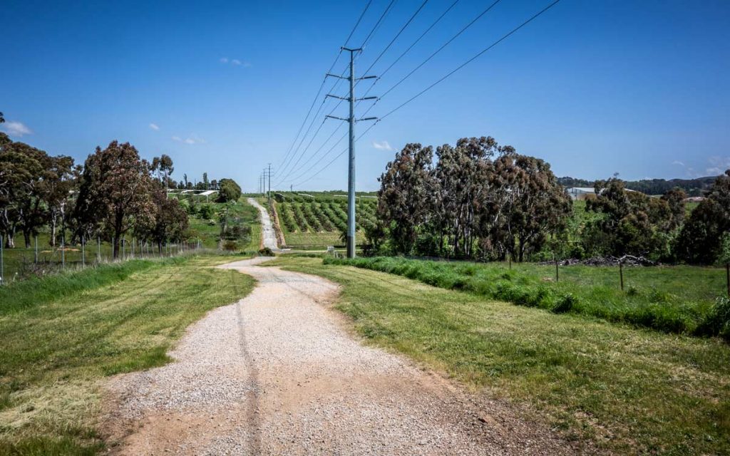
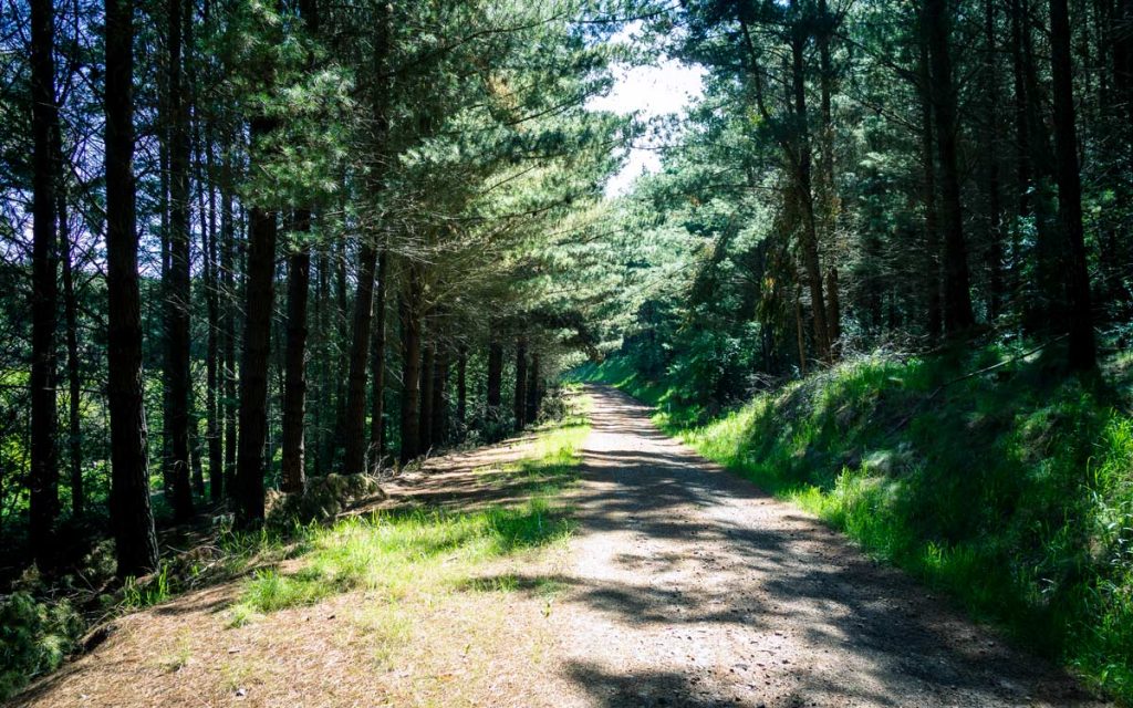
It’s Oh So Quiet… Located to the South of Orange, Berrilee Road is a route that takes you out the cycle path toward Gosling Creek, then climbs up to the Pinnacle through the pine forests that line the southern slopes of Mt Canobolas. From the Pinnacle it’s all downhill back in to town.
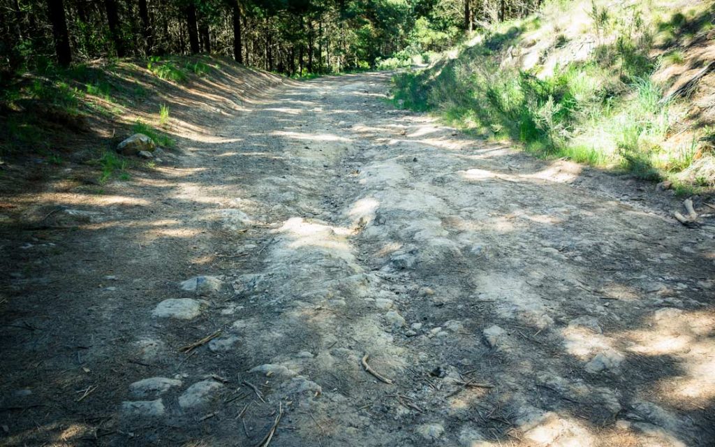
The route is a mix of Tarmac and gravel fire roads and is best ridden on a hardtail MTB or gravel bike. Using fire roads in the forest means the road condition can vary dependent on the weather and how recently they’ve been maintained. There are quite a few deep ruts and some rocky sections. If we’ve had a storm, there will often be trees and branches on the road.

Food & Water
No food or water available on route.
Watch out for
Road Condition: the gravel roads in the forest vary. Generally light gravel over hardpack. Some deep rutted sections, some rocky sections. Generally OK. Watch for trees down if we’ve had storms. Can get a bit muddy after rain.
Traffic: In the forest very quiet. Cadia Road can get busy, especially for shift change at the mine.
Gosling Creek Cycle Path: The descent to the creek (once past the park bench at the top) gets very loose with a tight turn at the bottom on to the bridge.

Variations / Extensions
Berrilee, Ginns & Giles. Add some farm gravel roads to the route, return via Gosling Creek rather than the Pinnacle. Adds about 15kms / 30mins.
Mt Canobolas via Berrilee. The long back way to the summit. Turn left at the top of the Main Central climb to keep climbing up to the summit. Go through the pine forests and in to the native forests as you climb. Spectacular views to the south on the way up. The roads condition deteriorates further on the way up and may not be suitable for gravel bikes. Descend down the mountain on the tarmac and head back to town via the Pinnacle. Adds around 15kms / 45mins / 500m elevation.
Bald Hill via Berrilee. Details to come.


