Published on August 9, 2023
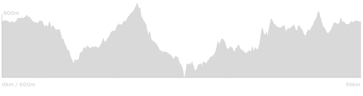
Ride Profile
Expansive views, quiet roads… this ride takes you out to the historic mining area of Ophir, the location of the first gold discovery in NSW way back in 1851. There isn’t too much left out there, some old mine shafts, the cemetery and public toilets (not original thankfully…). It’s a beautiful spot though in amongst the she-oaks, where the Summer Hill and Lewis Ponds Creek’s meet. You’ll find some information boards as well if you wish to read up on the history.
To get there, you’ll go North of Orange to March, before heading out Kangaroobie Road and winding back over to Mullion Creek. From there it’s East to Ophir, and back to Orange via Lewis Ponds and what was once Kinross Forest.
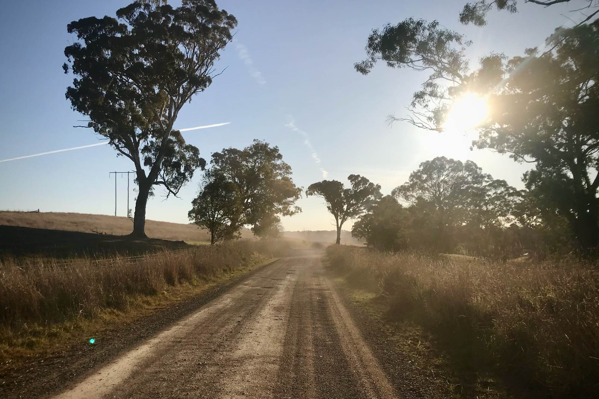
The roads are quiet, and the views are panoramic – this is an absolutely cracking ride.
OK, so we need to talk about the Ophir Exit Climb. It’s not that long (about 700m) but with sections of of near 30% gradient (Strava), it’s a brute. The climb starts as soon as you leave Ophir, on the Southside with a sharp rise of 15 to 20%. It then flattens for a little relief before pitching up sharply again with gradients running up to 30%. Thankfully it’s bitumen.
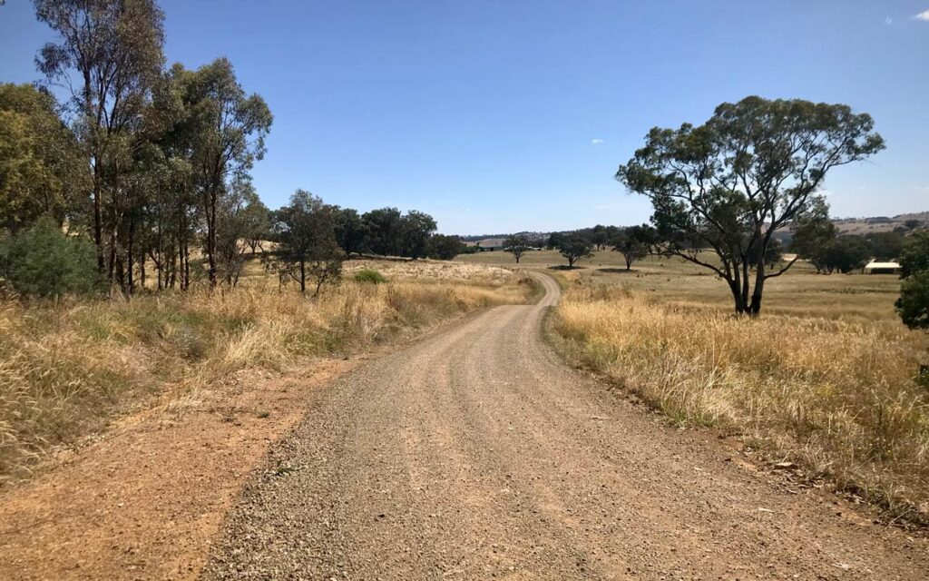
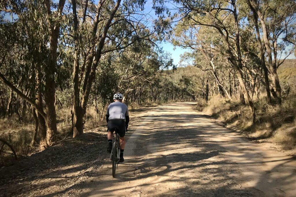
This route is a series of gravel road sectors with connecting sections of bitumen. The gravel sectors are at the time of writing quite good but a bit rough in places, so perfect on a gravel bike, not ideal on a road bike.
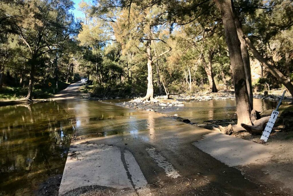
Before you start: There is a low level crossing on Summer Hill Creek just below Suma Park Dam (8.3kms). If the dam is 100% full (see the Orange Council website – click on the Water Storage tab), there will likely be water over the crossing and you may be better avoiding Bulgas Road and heading back in on Icely Road or through Kinross to Banjo Paterson Way .
Food & Water
No food or water en route, you’ll need to bring everything with you.
Cellar Doors
The Mortimers cellar door is in March (at 11kms), Mayfield Vineyard (at 77kms) is on Icely Road.
Watch out for
Road Condition: bitumen roads are good, gravel roads mostly good, with some rougher sections (although this can change).
Traffic: Watch the section from Bulgas Road to the Northern Distributor on the way back in to town, there is little shoulder and it can get busy. Otherwise the roads are generally quiet.
Image Gallery
Click to enlarge.